31 May 2010

Hooray, Ouray!!!

31 May 2010-Happy Memorial Day to everyone! I couldn't post this last night, so I hope everyone had a great weekend.


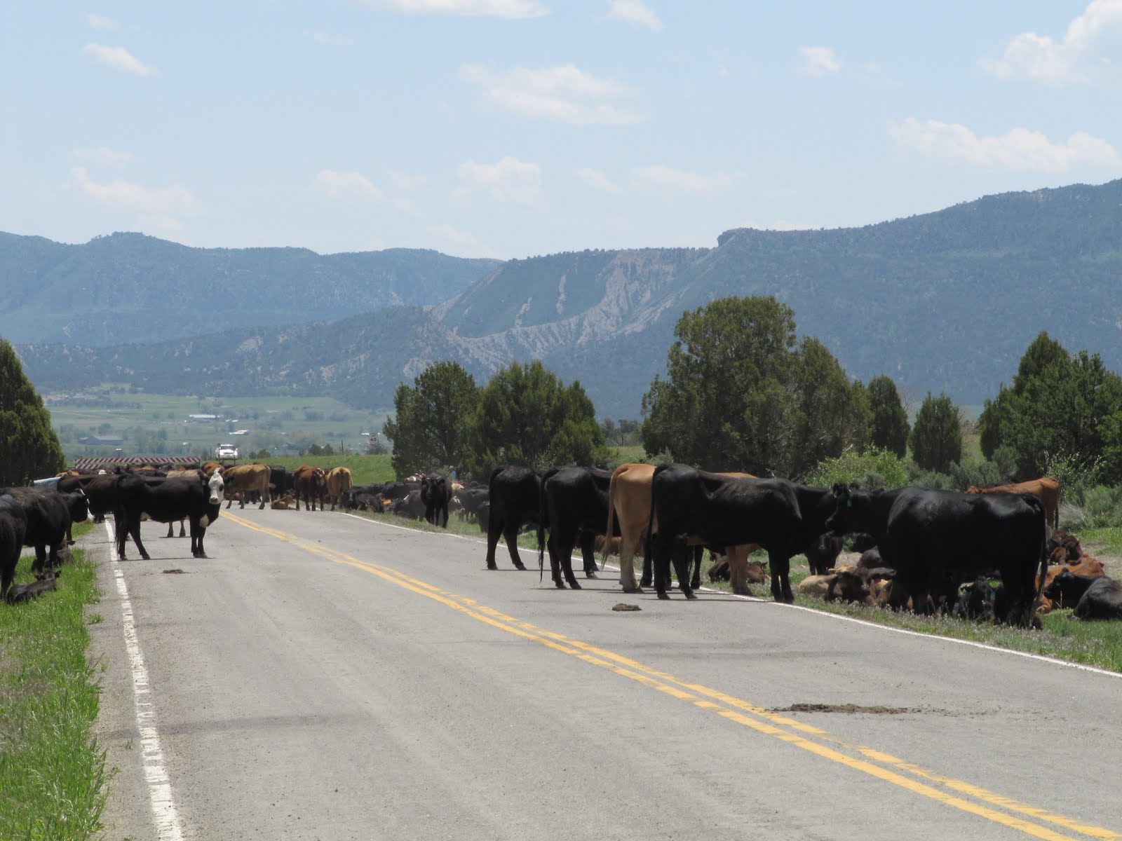
We left Mancos, CO yesterday, just before 9 AM, figuring we had about a 5 hour drive ahead of us. We were only going 200 miles, but the combination of slow RV driving and mountainous driving we knew would slow us down. Here are several of the signs we saw along the road, a few of which will come into play later. Check out how we not only have the regular deer crossing signs, up here we have elk and even Big Horn Sheep crossings.


These road signs are the ones that played into our "almost calamitous" day.


Here are some pictures of the roads we were driving on. You must realize we were deep in the mountans, almost 12,000 feet at the summit. This very 1st picture shows the road cracked on the edge...the edge on my side of the RV. I worried that with 30,000 lbs in the RV we might be too much for the road and crumble down the cliff. Notice my mirror looks like it is already off the side of the road. Also notice that between the white line and the cliff there is very little room for error. These roads would be a bit unnerving in a car, never mind an RV.


And how about doing some figure 8s in a 40 ft RV? If you enlarge the pictures you can really see how crazy they were. Going up the mountain we were mostly on the side of the road where the cliffs were, while going down we were mostly on the mountain side of the road. But going down was absolutely harrowing.

Check out this video and key in on the cliffs.

This is where my blog title, "Hooray, Ouray!", comes in. I couldn't get a picture of the 1st problem because it was too serious. This is it: Cathy and I were driving along, slowly taking each turn as we descended the mountain, when we both got a whiff of burning rubber. A group of motorcycles had just gone by, so we wrote it off as their exhaust. Just a few miles later, we smelled the burning rubber again, and believe it or not another motorcycle had gone by, so we HOPEFULLY wrote it off again, but with a knot in our stomachs. Not 2 miles later, Cathy looked in the rear view side mirror, and SMOKE WAS SPEWING HEAVILY OUT OF THE BACK OF OUR RV!!! We are panicking now, trying to find a spot wide enough to pull over, and once we do we get out of the RV...all smoky and smelly...and thankfully 2 guys pulled over to help us. They owned an RV, and told us it was our brakes burning up. They even said to get the fire extinguisher out of the RV, that our coach could catch on fire. Luckily for us, after about 45 minutes there was no more smoke, and we thought we could press on. The guys had told us about downshifting and using the engine brake, so we thought we could proceed.
Well, no, that would not be the case. We now noticed that, totally unrelated to the burning brakes, our front tire was leaking oil...we didn't even know that we had oil in there. Again, the 2 guys helped us get off the hub cap cover where we could see that almost all the wheel bearing oil had spilled out because the plug had popped off. After using a sponge to clog it up, they told us we were almost at the bottom of the mountain, and in the town called "Ouray", there was a gas station that could probably help us.
So this is John, the gas station man of Ouray, taking off the hub cap and ultimately filling our wheel bearings with the appropriate oil. Cathy even found the plug that had popped off, so we were greatly relieved.


These are some pictures of Ouray from the side of the road. I am paying homage to the town because we were so relieved to get there!


If it wasn't for the burning brakes and the oil leak, and if the roads through the mountains weren't so frightening, it would have been a beautiful day (haha). Only the trip into the woods when the GPS took us the wrong way in Tennessee compares to today for stomach knotting. Here is some of the scenery.


And more scenery...I think I did a puzzle of this 1st picture...nice scenery to surround your house, huh?!


Right outside of Gunnison is the Blue Mesa Reservoir, man-made and finished in 1965. It is Colorado's largest lake with 93 miles of shoreline.


So, a drive of 200 miles, that in an RV should have taken maybe 4 1/2 - 5 hours, instead had us arriving 8 hours after take-off, finally, arriving in Gunnison and our RV Park. Notice it says Palisades "Senior" RV Park. This place is run by the city as a non-profit, and is supposed to be for 55 and over, but they let me slide at 54.

And the final video...is Cathy courageous, or what!!!?? I would have been immobilized with fear, and we would still be on that mountain if I was driving!


28 May 2010

So, You Want to be a Cowboy!

28 May 2010-We had no sightseeing plans today, just hanging out cleaning the RV and taking the car to the car wash. Well, lo and behold, as we are leaving the RV Park, we see a bunch of cows and cowboys/cowgirls on the road we need to turn on to get out of the park. We are about to witness a real, live Cattle Drive!!!!


I took some pictures and videos...here is one where at the end there is a cow looking right at me...I wasn't 10 feet away from her. (Turn up your volume to hear the sounds)


This is the road right outside the park. The cattle and cowpokes are resting, eating lunch, or just laying around on the grass off the side of the street.


This man and woman told us that they were moving the cattle to their summer pasture. They are moving 700 cattle here, and she told me it would take them 5 days to get where they were going. This woman was easily older than me...I would say in her early 60s probably.


The cowboy said that because their is so much private property nowadays, they had no choice but to take the cattle right onto the streets/highways. Here they are pushing them right out on the shoulder of the highway as Cathy and I are driving by.


Enlarge these 2 pictures and look at the dogs...we saw 3 of them and the poor things were filthy. They looked like they were having fun working the cattle, but in all that dirt and dust they really need a bath.

Here are 2 more videos. I really think this has been one of the best things we have seen since being out on the road. It was like out of the Old West...I loved it!!!


27 May 2010

Mesa Verde National Park, Co

Revised.

25 & 27 May 2010-We spent 2 days in Mesa Verde, Tuesday and today (Thurs), and it has been well worth the trip. This mountain you see here you may recognize as the one right outside my front window. The entrance to the Park is less than a 1/2 mile from our RV spot.


From the entrance to the Visitor's Center, however, is a solid 15 miles...takes about 30 minutes because the roads are so windy. Those are wild horses right outside the Center...the only wildlife we saw the whole time.


There are hundereds of sites in the park that were built anywhere from AD 550 to 1300. Some you can go to at your leisure, on a self-guided tour, while others you have to take a guided tour with a member of the National Park Service. These sites are very much like the ones we saw in Bandelier National Park, but a bit more extensive and these were here before the ones in Santa Fe.
Tuesday we went to the Far View and Spruce Tree House sites, they are self-guided and pretty easily accessible. The people who built these are referred to as either the Anasazi people, or the Ancestral Puebloans. They were mostly farmers of corn and squash, but also hunted for meat.


This picture below shows what the ruins would have looked like before decaying, and I put the one with my car in it just to show you how big they are, even half ruined.


The Spruce Tree House buildings are significantly more impressive than the Far View site. What is interesting is that these people lived in these mountains from 550 to 1300, but they lived on top of the Mesa (mountain) the whole time until about 1200, when for defensive purposes they moved their dwellings down below, into the sides of the mountains. I stitched together 4 photos in this skinny picture below so you could get a better view...click on it to see it better.

And this is a single picture if the other one doesn't help. haha Spruce Tree House is the 3rd largest site here, and 90% of what you see is the original work of the Puebloans...isn't that amazing!? The National Park Service only shores up stuff that would otherwise be dangerous.


This is called a Kiva, and as I mentioned before at the Bandelier site, these were used in religious ceremonies. What we learned here that we didn't learn before is the little hole in the ground, to left of the big hole where they had a fire, was important to these people. They believed that humans were called forth from this little hole, that it was basically the origin of life. Although they are mostly uncovered today, hundreds of years ago they were covered over and also used for warmth during the winter. That is me going down inside one...that is how they entered all their dwellings, not by doors, but by a hole in the roof.


This picture shows what all this would have looked like 600-700 years ago.

These are pictures of the valley as you leave the park. The one on the right is from Mancos Overlook, which is the name of the town Cathy and I are in.


I said that the Ancestral Puebloans started here in this park, after they settled down from their wandering lifestyle, but sometime before the year 1300 there was a 23 year drought that forced them south, and as this map shows some of them ended up around Santa Fe, where we saw the last of these buildings. Cathy and I had no idea when we were planning this trip that we would come to find the 2 spots related.


Today we went back to the park to take the guided tours to what is called Cliff Palace and Balcony House.

We went to Cliff Palace first...this is the biggest of the sites, really amazing to see. There are about 150 rooms in this dwelling, and around 100 people lived here.

I took this video while we waited for the guide.
Notice how small the people look walking around. Some of these dwellings reached 4 stories high in the side of the mountain.


Next we went to Balcony House, which was not as impressive as the other places, but it was fun getting in and out of there. We had a series of ladders, starting with a 32 foot ladder to get to the dwelling. I messed up the video of Cathy climbing again, so turn your head or your laptop to view. haha


We also had two 10 foot ladders and a 60 foot climb along an open rock face to get out of the there. It would have been a fall of 900 feet had something gone wrong!

But the funniest was this 12 foot long, 18 inch wide tunnel we had to crawl through! (Good thing I lost that weight when i was in Texas!!! haha

On our way out of the park we stopped at a couple places where you could stand at the overlook and get some great views.


This shows how the people got back and forth to the top of the mountain where their crops were. needless to say they didn't have steps and ladders...let's try hand and toe trails...crawling along the mountain.


There are a lot of these dwellings that are not accessible to us...you can see 4 or 5 dwellings from this overlook alone.

This says there are 4000 sets of ruins in the park, but only 600 are cliff dwellings. Click on the skinny picture...it is another one we stitched together.

Most of the dwellings you have seen are between the 2 sets of greenery at the top of the mountain and about 1/2 an inch down in the picture. It is amazing that they were able to get back and forth.
And now for just a few fun facts:
-These people married when they were between 12 and 14 years old.
-When married, the men joined the women's clan, so all "property", etc., was with the women.
-50% of the women died in childbirth.
-The average woman lived till between her late teens and early-to-mid 20s.
-Most men lived from their mid 20s to early 30s.
Looks like a pretty hard life, huh?